We made it to Mexico!! We couldn't fit through the turn-style on the pedestrian crossing though this is where we were told to go. The guards couldn't open the gate next to the turnstyles, so we were told to go on the highway with the cars. We ended up riding on I-5 through the maze of cars to get to customs. We were not-so-kindly greeted by an official wanting to know why we were there. After some explanation (thank goodness he spoke English), he was nice and actually walked us across the border.
Then we were left to navigate Tijuana. Up to this point we've been navigating with a book and google maps on Seth's iPhone. Now that we were in Mexico, it meant we'd have to rely on our Garmin GPS. Seth turned it on, only to find that the maps woldn't load. Which meant that we had to navigate through a huge Mexican city with an unsafe reputation -- all without a GPS. Our only map was not detailed enough. Luckily Seth's Spanish pulled through for directions and we both have a decent sense of direction...we found our way onto the highway. We can't say that riding on Mexico 1 through Tijuana is the safest route. It's 6 miles up with 6 lanes of fast moving traffic. But -- we made it!! And at the top of those 6 miles, the road drops down and we were suddenly in Rosarito along the ocean.
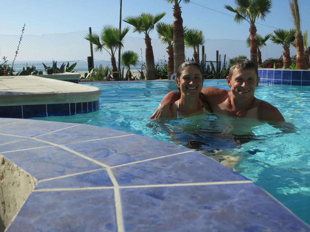
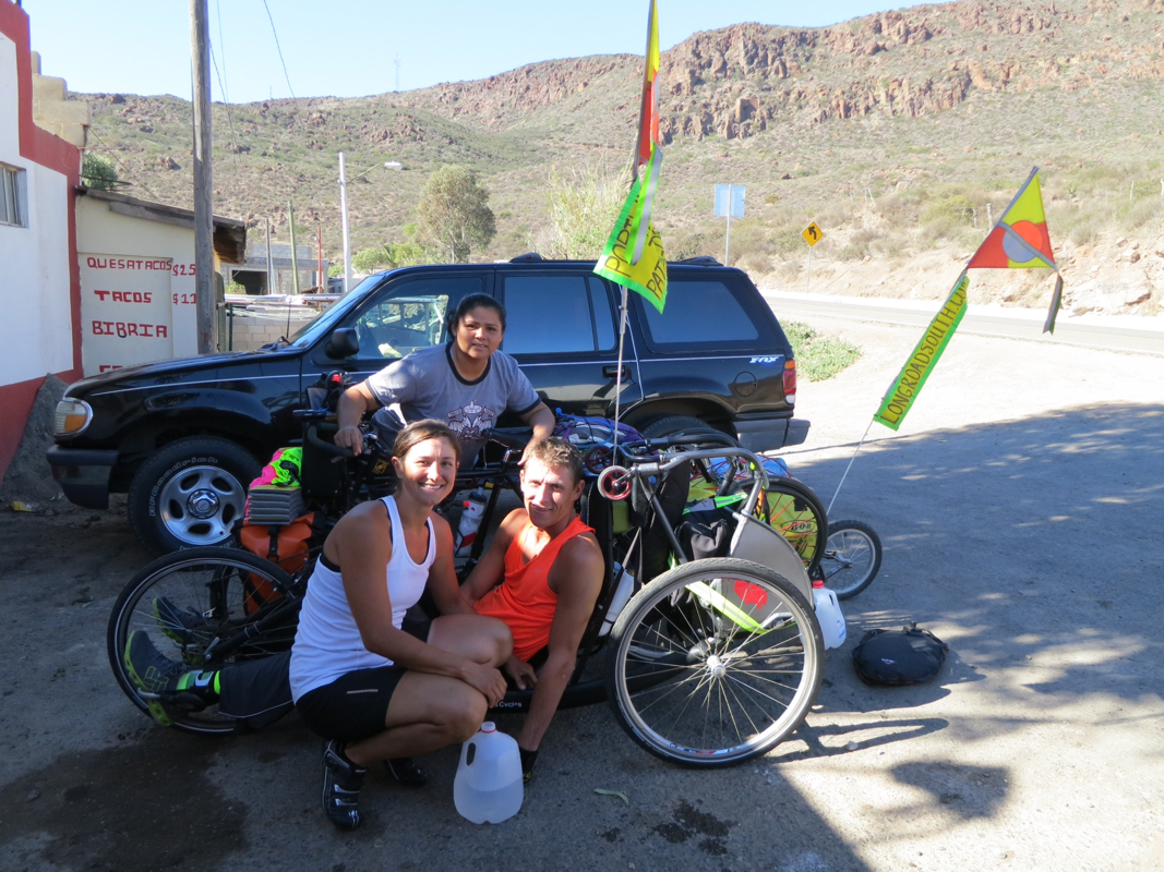
While in Rosarito we were able to get some Mexican money, eat some Mexican food and drink some Mexican beer. Good times.
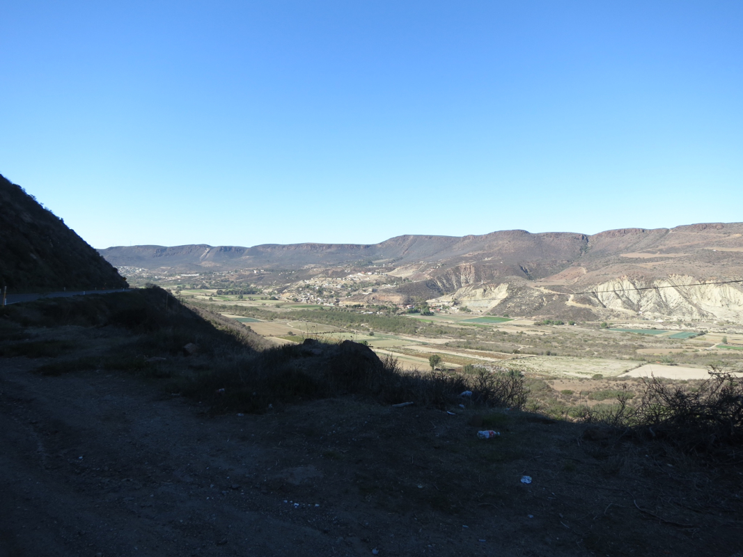
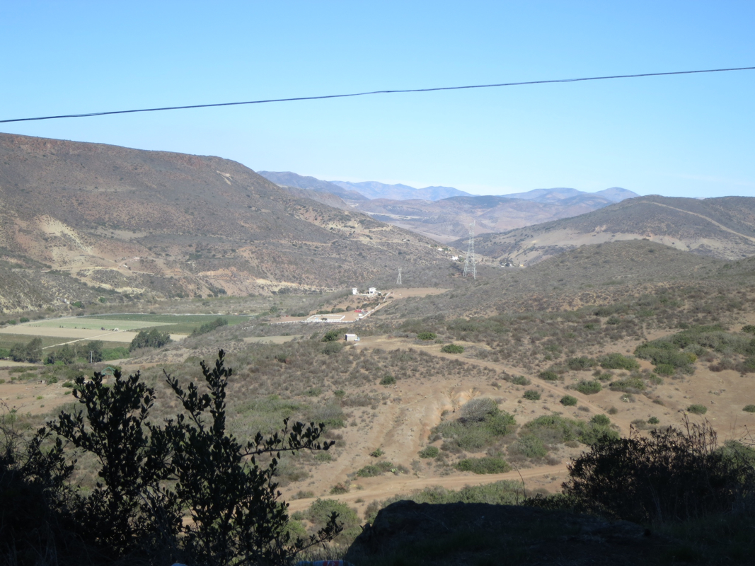
Our second day ended up being our second longest at 52 miles....and rivals our most difficult days. We expected flat with 1 big hill, but instead found rolling hills along the coast and 1 monster climb into the mountains that led to several medium-sized climbs.
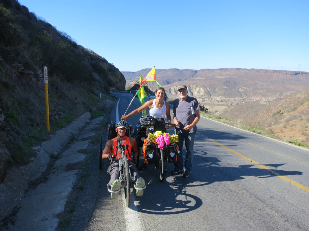
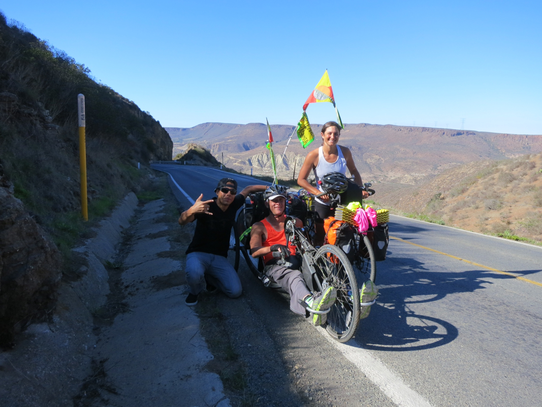
Today was awesomely difficult but we made it to Ensenada. The terrain has changed back to difficult climbing only this time there's the added element of heat. We're always up for a good challenge!
 RSS Feed